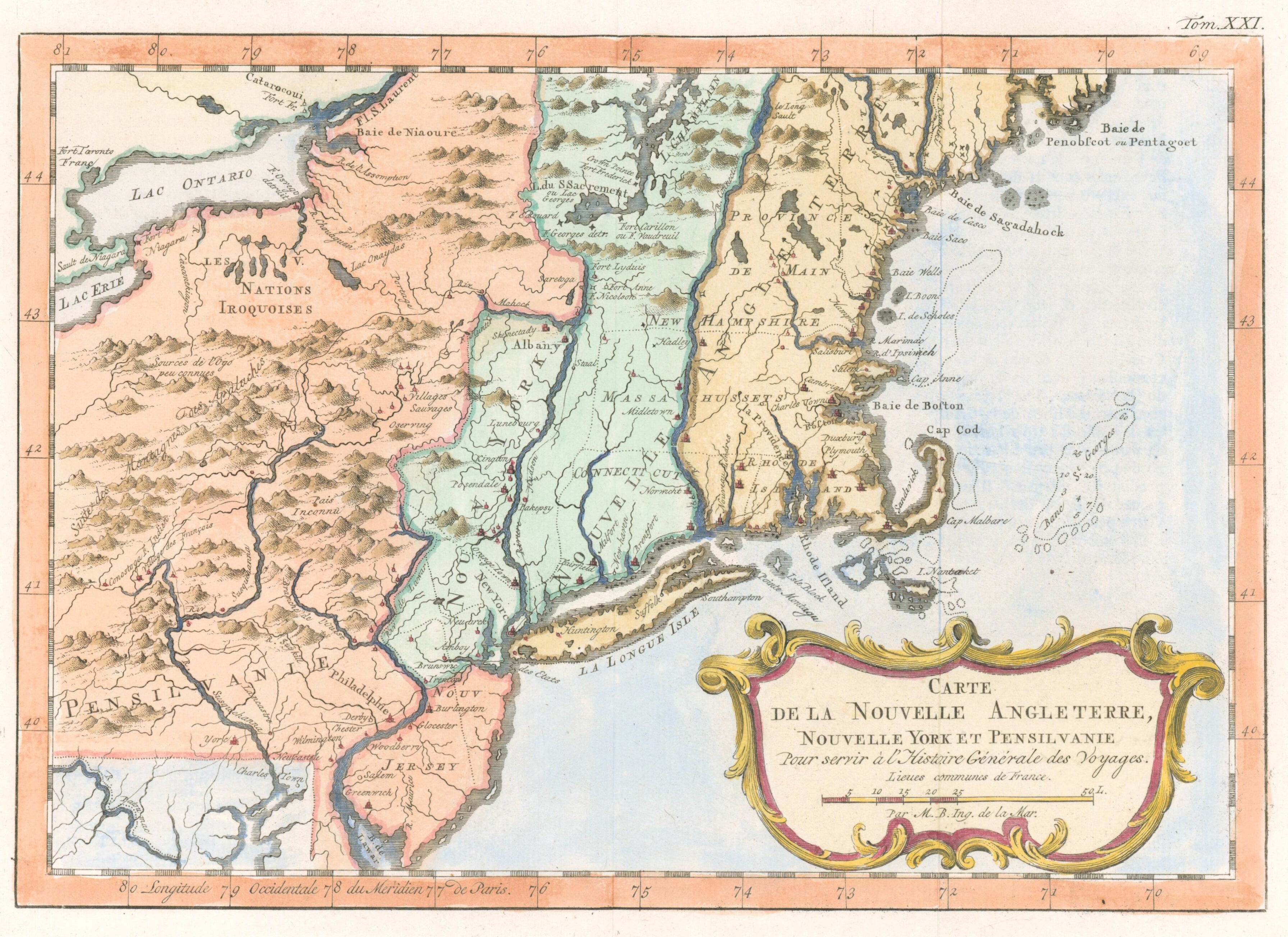
Bellin, Jacques Nicholas "Carte de la Nouvelle Angleterre..."
Jacques Nicholas Bellin. "Carte de la Nouvelle Angleterre..." c. 1757. 10 x 13 1/2. Engraving. Full hand coloring. Very good condition. This French & Indian War–period map details the English colonies from Pennsylvania north to Penobscot Bay in Maine, depicting their early boundaries in considerable
Description
"Jacques Nicholas Bellin. "Carte de la Nouvelle Angleterre..." c. 1757. 10 x 13 1/2. Engraving. Full hand coloring. Very good condition. This French & Indian War–period map details the English colonies from Pennsylvania north to Penobscot Bay in Maine, depicting their early boundaries in considerable"
Key Highlights
More Products
View All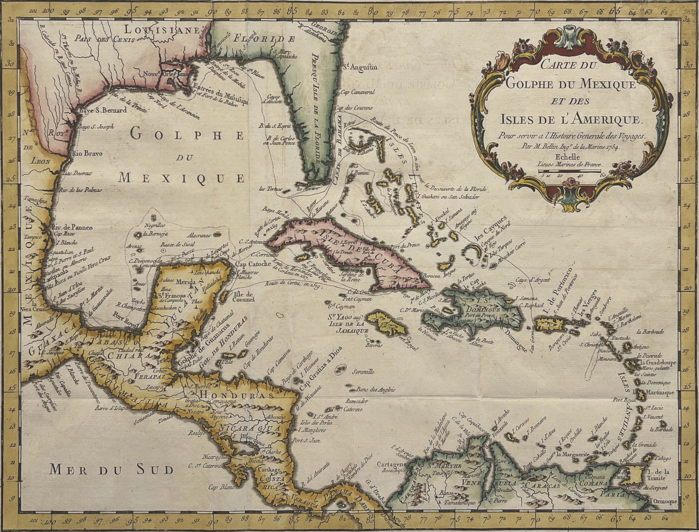
Bonne, Rigobert "Carte du Golphe de Mexique..."
"Rigobert Bonne. "Carte du Golphe de Mexique..." Paris: Chez Didot, 1754. 12 1/2 x 17 1/2. Engraving. Original hand coloring. Minor foxing in margins, otherwise very good condition. Attractive map of the Caribbean islands, including the portions of the United States and Mexico bordering the Gulf of M"
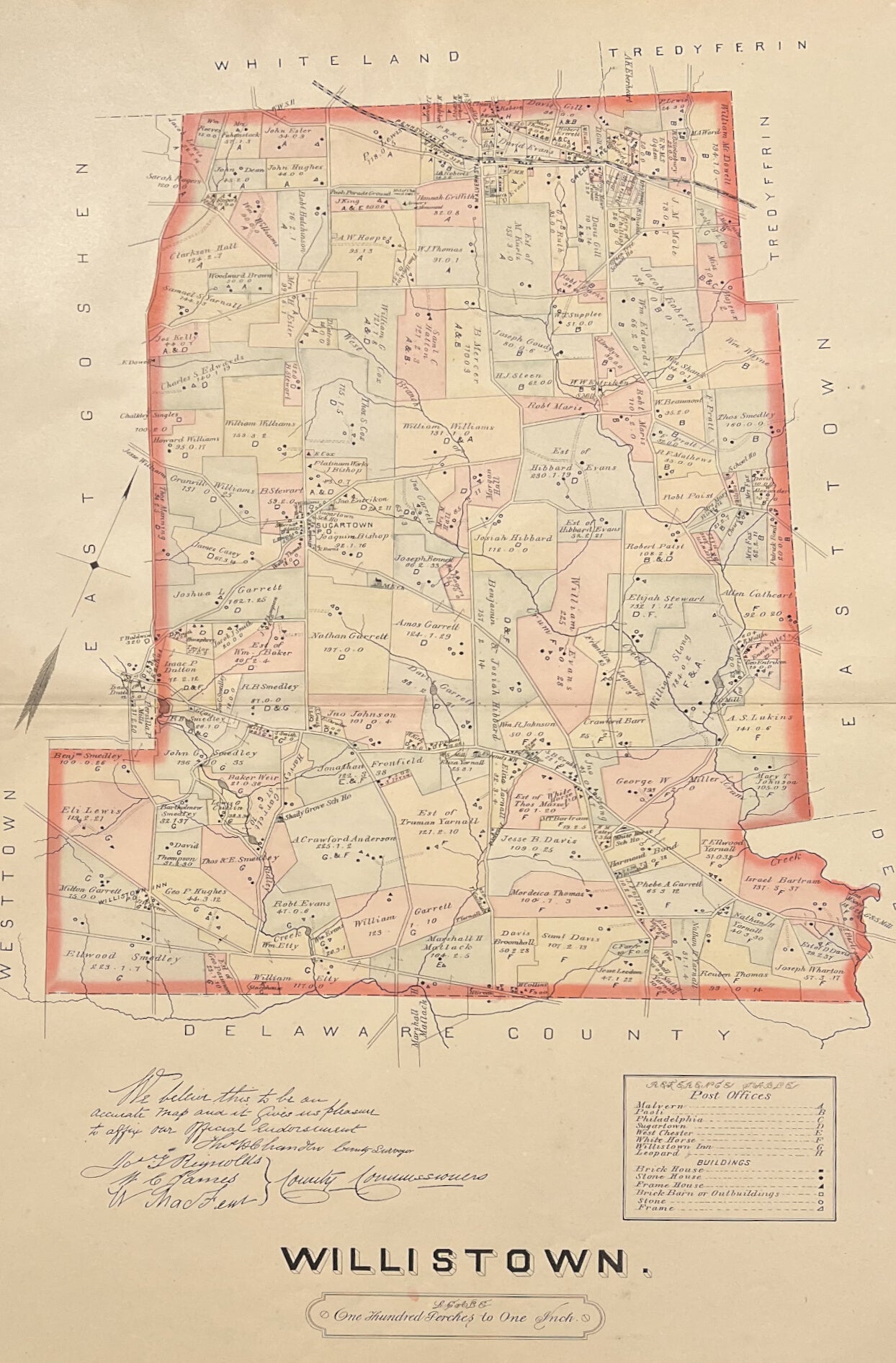
Breou, Forsey "Willistown"
"Forsey Breou. "Willistown." From Breou's Official Series of Farm Maps, Chester County. Philadelphia: W. H. Kirk & Co, 1883. 20 ½ x 28 ½. Lithograph. Original hand color. With centerfold as issued."